


Google Maps has just rolled out a series of updates designed to help electric vehicle (EV) drivers, as well as improve navigation markers for the app. Basically, this new feature makes EV charging stations easier to find, as well as to route through streets as efficiently as possible.
‘Charging Stations’ Filter as Default
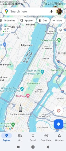
The feature is simply shown to be the “Charging stations” filter put in the main menu tab, replacing the “Gas stations” preset. Before, users could already view detailed information about charging stations, such as vehicle compatibility, charging speed, and the last charge session. However, getting into such info required additional steps, and there was no immediate way to pull out additional options within the “More” menu. Thus, it was not necessarily organized in a way that you can check all of them immediately.
With the new filter, EV drivers can quickly and easily read all of this relevant info. This potentially saves more time, and maybe also reduces your range anxiety between the next couple of miles.
Street Identification Update
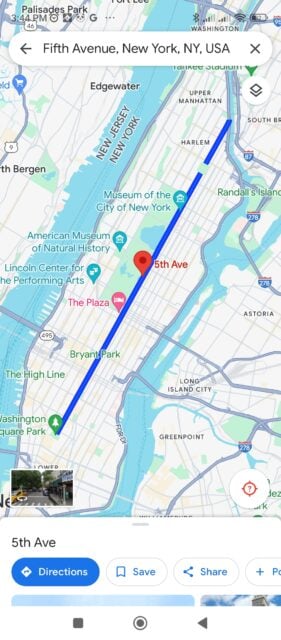
Google Maps also improved street identification for the same update. When searching for a specific street, the app now highlights just the street itself in blue, providing a clearer representation of its location and length. This feature is particularly useful for users navigating unfamiliar areas or planning routes that involve multiple streets.
In addition, the app is reportedly undergoing some user interface changes to create a cleaner and more streamlined look. These visual elements are currently being tested and are not yet widely available to all users.
More EVs, More EV-Related Updates
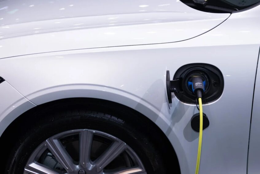
This update comes as a response to the increasing demand for electric vehicles and requirements to adapt to newer vehicle infrastructure. I mean, it is part of Google Map's dynamic updates related to its growing users for sure. But, the more people switch to EVs, there more the need for tools and features that make it easier for drivers to locate charging stations. Hence this expected development.
Indeed, new EPA rules for cutting carbon emissions put the United States at a target of 56% EV adoption by the year 2032. So the eventual shift towards making EVs part of the mainstream should also affect related industries and services, such as Google Maps.
Accessing the Feature
Again, to access this feature, users need to go to Google Maps “Settings”, then “Navigation”, and choose either Electric or Hybrid within “Engine type”. You should then see the “Gas station” tab change into “Charging Stations” up front.
While it is currently visible on Android devices, the feature has yet to arrive on iOS. Google has not provided a specific timeline for the iOS rollout, but it is expected to be available in the near future. The enhanced street identification feature, at least, is already available on both Android and iOS devices.

