




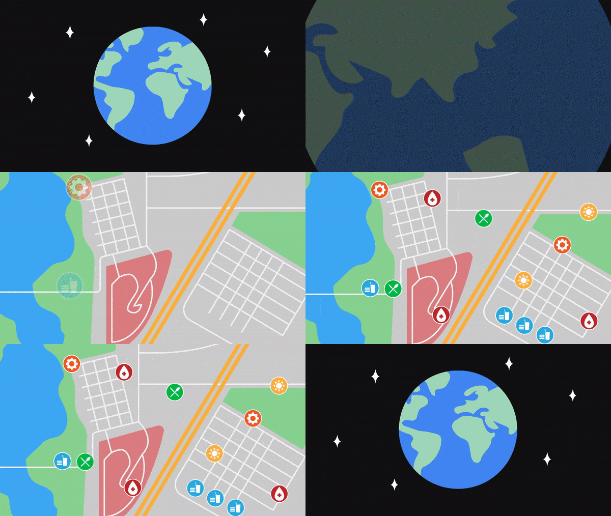
One of the lesser known features of Google Maps is the ability to create somewhat custom maps for your specific area. This can be a useful feature to creating more connected communities and can address things in a more personal manner for smaller groups where full Google Maps updates just don't cut it.
Google has seen an uptick in usage of these custom maps during the COVID-19 pandemic, and they're showing off some of the best custom data that's been seen in the last few weeks.
Custom Google Maps
My Maps will currently let you set up your own map with lines, embedded text, photos, videos, and more; you can share these maps with a public link, and even embed them in websites and other places. This has allowed people to create tons of useful (and sometimes fun) maps and share them across the internet.
Some of this has been incredibly helpful, including food banks, locations of the spreading virus, and disinfection points for truckers moving food across countries. On the other hand, some things have been a little more on the fun side. Citizens in New York, for example, have placed rainbows in their windows for kids to hunt down while they're stuck inside, and there's a custom Google Maps set showing the locations and photos of those rainbows.
You can check out some of the best maps available over on the Google Maps blog, plus see some tutorials for setting up and creating your own custom maps.
Read more: Google Maps
- Google Maps celebrates its 15th birthday
- Dark Mode starts to show up in Google Maps
- Apple and Google team up to help track COVID-19 infections

